Hidden in plain sight - A Family Scavenger Hunt of the Curiosities that make Dún Laoghaire Town special
Family Scavenger Hunt Walking Tour


Family Scavenger Hunt Walking Tour Digital Map
Our other speciality maps of Dún Laoghaire Town
Have a great day out in our town with our new Scavenger Map of Dun Laoghaire’s curiosities that make our town special
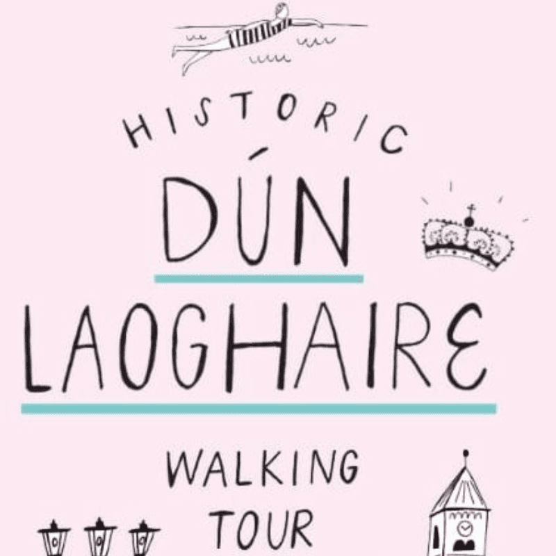
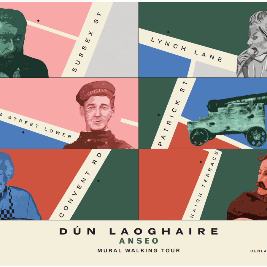
Digital Dun Laoghaire have launched their ‘Hidden in Plain Sight’ scavenger map as part of Heritage Week 2023. The new map has been part supported by DLR CoCo’s Business Area Promotion grants and is the third in a set of guides which Digital Dun Laoghaire have created for the town, the first two are Historical Walking Tour and Walking tour of Dun Laoghaire’s Murals
Dún Laoghaire is a lively and picturesque coastal town full of the old and the new with its mix of Victorian architecture and modern shops. Dún Laoghaire also has a rich history, in particular being one of the first towns in the country to change its name in 1922 to its original Irish one. While the harbour and the pier walk attract many thousands of people and social media posts on a daily basis, few of these visitors venture the short walk to the commercial heart of the town. One of the goals of this new resource is to attract families and tourists to the commercial centre of our town.
Why Heritage Matters
Heritage is an important part of every town for a variety of different reasons. Firstly, it is common that a town with attractions that are well connected to its heritage can be one of the main reasons that visitors are motivated to visit a town. This increase in tourism has great economic and cultural benefits for an area. Heritage also has an influence on the local population’s sense of identity. It helps people to feel connected to their roots and brings a sense of community to an area. Heritage also acts as a great educational tool. It allows the community to further understand the development of a town and create a deeper connection to its history.
Learning about this in a fun way is the goal of the scavenger hunt, the hope is that families will come to the town and complete the puzzles contained in the map.
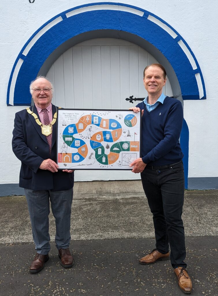
Digital Dun Laoghaire’s project director Eoin Costello presents a copy of the new map to An Cathaoirleach Cllr Denis O’Callaghan outside the old forge on Cross Avenue, the first stop on the hunt
Here is the full text of the Hidden in Plain Sight map
1. 42 CROSS AVENUE
From when the forge opened until 1903 The Rt Hon Thomas Earl Of Longford owned the property as Lords Longford and De Vesci owned most of the land Dun Laoghaire is built on. Reflecting the demise of horse-drawn transport the property was sold to Irish Motors Ltd in 1925. Can you tell the date it opened, EST means established by the way.
2. 91 GEORGE’S STREET LOWER
John Ring (JR) and sons were a plumbers and contractors company. The company was founded in 1870. His initials are in the date stone and you can find one of his metal covers in the pavement outside 75 George’s Street Upper see clue 20. Puzzle – What was our town’s name when John worked here?
3. OUTSIDE 56 GEORGE’S STREET LOWER
This is the town’s crest on a tram pole. Trams ran through the town from Dalkey to Dublin from 1879 as horse drawn trams, which were replaced by electric trams in 1896 and ran until 1949. The 1930 town crest contains elements of the former Kingstown crest and includes King Laoghaire’s crown, a Viking boat representing trade and a castle representing the historical importance of Dun Laoghaire as a fortified settlement. What job does this pole do now?
4. 88 GEORGE’S STREET LOWER
The various red-brick frontages on George’s Street with dates ranging from about 1895-1910 arise as a result of a demand by the Longford & Devesci landlord estates to modernise the frontages
of most shops with red brick or risk eviction. When this building was rebuilt in 1898 Thoms Directory records the businesses that occupied the three street level shops as Miss Cash, Confectioner,
Murray & Co, grocer and wine merchant and the Universal Meat Co. What’s directly above the date stone?
5. ENGRAVED LETTER BOX – 87 GEORGE’S STREET LOWER
The Scripture Union was founded in 1867 with the goal of encouraging people to read the Bible. It continued to operate from this building until 2016. The building was purchased in 2017 for
the operations of The Leprosy Mission, an international charity founded in 1874 by Wellesley Bailey and the Monkstown’s Quaker family, the Pim sisters. Is the letterbox at the top or the bottom of the door?
6. 64 GEORGE’S STREET LOWER
A large multifaceted clock was erected on this building when it reopened as Findlaters expanded premises in 1900. The flat limestone indent where it hung can still be seen above the main entrance to Pennys What letter of the Pennys sign is it above?
7. 12 EBLANA AVENUE
Built in 1830 “The Eblana Lodge” went through a succession of owners from department store Switzers (1850) to the Vance family of surgeons (1877) to Lt. General Henry Hall from the British Army to McCabe (1879) a Cardinal of the Roman Catholic Church becoming a club for social inclusion in 1910 which it operates as to this day. How many front doors does it have?
8. ST. MICHAEL’S CHURCH TOWER, MARINE ROAD
St. Michael’s Church was a large Gothic Revival church consecrated in the 1830s but destroyed by a fire in 1965. The bell tower is all that remains, it’s bell was cast in 1849 with lettering saying Church of Kingstown. Under the word Kingstown a Harp symbol and the words ‘Erin go Bragh’ are cast into the bell. What does the phrase mean?
9. 1 GEORGE’S STREET UPPER
Look up and you’ll see the symbol for the Provincial Bank of Ireland (PBI) which opened in the town in 1922. This former bank building is one of many banks that opened to serve the newly
arriving wealthy residents who were attracted to locate in the area by the railway to the city centre. What valuable thing can you get here now?
10. 47 NORTHUMBERLAND AVENUE
In the writing of James Joyce “Kingstown” is mentioned several times in ‘The Dubliners’ and in ‘Ulysses’. After their wedding in 1880 Joyce’s parents John and May lived at this address. What colour is the door?
11. 22 GEORGE’S STREET UPPER
Go to the corner of the building and look to the very top and you’ll see the logo of the owner of the town’s first department store which opened in 1906. Seen as a model employer Edward Lee took a strong pro-worker stance during the 1913 lockout. What’s directly above the logo at the top of the building?
12. 101 GEORGE’S STREET UPPER
There was a craze for all things Egyptian when the bank building was built in 1901 hence the Egyptian Pharaoh on the door knocker. What side of the front door is the knocker on?
13. ABOVE THE ENTRANCE TO THE ROYAL MARINE HOTEL
This is Neptune, the Roman god of the sea with an open crown. It was a popular representation on buildings in England at the end of the 19th century at the time the hotel was reopened in 1865. What’s directly above his crown?
14. NATIONAL MARITIME MUSEUM
During the Second World War the Royal Navy had laid over six thousand naval mines in the Irish Sea. Stormy weather could separate them from their moorings and they could drift ashore.
In 1943 a group of locals in Donegal tried to drag a mine up the beach when it exploded killing 18 people instantly. What was removed from the mine to make it safe for display?
15. 1 HADDINGTON TERRACE
Why would there be a Queen’s Hotel in Kingstown? Because Queen Victoria landed and passed through the town four times during her reign with her last visit in 1900 being the final of any
British monarch before the establishment of the Irish Free State. Can you guess what building will give you the best view of this sign?
16. BENCHMARK IN THE WALL ADJOINING THE HARBOUR MASTER COTTAGES/DLR LEXICON
Benchmarks were carved symbols attached to buildings or walls by Ordnance Survey of Ireland (OSI) which was established by Lt.-Col Thomas Colby in 1824 to provide a network of points at
which their height had been measured precisely above sea level. The benchmark at this location does not conform to the normal design of an OSI benchmark. Do you know what a benchmark usually looks like?
17. CANNON EMBEDDED IN THE EAST PIER OF THE HARBOUR
The Treaty of Paris at the end of the Crimean War in 1856 required that the victors receive cannons from the Russians as trophies of their victory. This cannon was manufactured in 1799 but the Russian Imperial Crest is missing. Where can you find what the crest looked like?
18. PEOPLE’S PARK
The park opened in 1890 and was designed by the chairman of Kingstown Town Commission (KTC). There is a large ornate plaque on the side of the park lodge beside the gate recording the names of the Commissioners of the Township of Kingstown. What was the name of the person who opened the park?
19. THE METALS ADJOINING PEOPLE’S PARK
The Metals is the historic pathway that was used to transport stone from the quarry in Dalkey to the harbour construction site in Dún Laoghaire in the 1820s. Here you can see the laborious process that was used to break up the tough granite stone, multiple holes were dug into the rock and metal chisels were forced into the holes until the rock broke. How many rows of holes do you see in the rock?
20. 75 GEORGE’S STREET UPPER
In the pavement <close to the wall> you will find a small metal gas cover. What’s interesting is that it has the former name of the town and the maker, John Ring of 91 George’s Street Lower mentioned in Clue 2 above. What’s in the pavement a metre from this cover?
21. MARINE PARADE, NEWTOWNSMITH
Written in Gaelic script the ‘Piano’ monument commemorates the creation in 1922 of the seafront road to Sandycove. This monument is an early example of the change of name by vote of
the elected representatives of the town’s name from Kingstown to Dún Laoghaire. Looking at it why do you think it is called the ‘Piano’ monument?
GUIDE PRODUCED BY
![]()
FOR